Oroklini – Kelia – St. George Monastery Ride

Route guide with photos, video & interactive map.
UPDATE: 16th March 2015 – New Video, see below.
An easy 20km road ride from the Oroklini Lake towards Livadia then through Kellia and along the road to Troulloi. A stop off at a great viewpoint then on to the St. George Monastery before heading back to Oroklini.
This is an easy ride with no steep hills. There is a little bit of off-road at the end which can easily be skipped. I only did it as there were roadworks at the top of Oroklini Village so I had to take a detour “yeah, right” said my wife! The first part of the ride after the Oroklini Lake is not particularly scenic but once you cross the highway you are on the quiet countryside roads surrounding the village of Oroklini with lovely views.
Route Guide and Photos
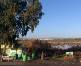
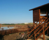
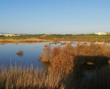
My route begins and ends next to Oroklini Lake at the CYTA (Cyprus Telecom) building & mobile phone mast. This is on the main road that leads from Oroklini to the seafront (Larnaca-Dhekelia Road). From here there is a small dirt track alongside the lake or you can ride down the main road and turn right at the Sveltos Hotel. After that you reach the birdwatching hide on the south side of Oroklini Lake. Find out more about the Oroklini Lake Wetlands and it’s importance to nature on the Oroklini Life Project website.
Towards Livadia
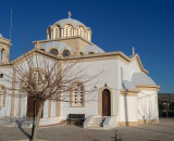
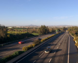
The route continues along the Oroklini – Livadia ‘back road’ past a large church which was constructed about 4 years ago. After passing a small football stadium you come to a T-junction where you turn right and follow the road over the highway and onto the village of Kellia. From the bridge over the highway there is a great view towards Larnaca and the mountain of Stavrovouni monastery.
Kellia – Troulloi Road & Viewpoint
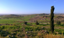
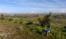
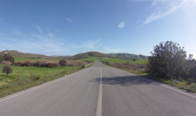
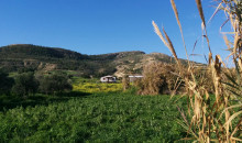
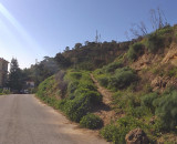
After passing through Kellia and past the Cyprus National Guard camp there is a gentle 3km incline along the road towards the village of Troulloi. At the top of the incline there is a small hill on the right which is accessible by following a dirt track – there is a fantastic view from the top in all directions and worth a visit. Bonus video: Riding down from the viewpoint.
To The Monastery
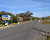
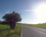
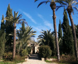
It is mostly downhill from here! Turning right at the junction signposted to Oroklini it’s another 1.5km to the St. George Monastery (Agios Georgiou). Look out for the really old olive tree along the way. The monastery is open to the public during the daytime and has a bit of a palm-tree thing going on! During the winter after periods of heavy rain you will sometimes see water running under the bridge – something quite rare in these parts.
Halfway Point
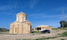
The monastery is the halfway point on this ride and next it’s time to continue along the undulating Troulloi – Oroklini road. After 2.5 km on the left there is a small church which was recently completed. Over the years I have passed this point many times and observed how one man built the church from stone, by hand. I reckon it took around 4 years to complete and is now having some out-buildings constructed. Continuing along the road keep an eye out for little shacks dotted around – kind of like 2nd homes the locals to retreat to during holidays or just to get away from it all!
Into Oroklini
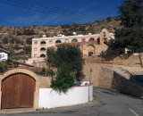
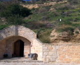
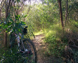
As you approach Oroklini the road takes you through some of the more recently constructed sub-urban areas before arriving in the old part of Oroklini. At the turning just before the Antonis-G Hotel and Lithos Bar we turn right past the old Archangel Michael Chruch through the narrow streets to the very top of the village. Here there is a small chapel dug right into the hillside. Past the chapel, bearing right, there is a narrow track to the right. This is a bit of fun if you fancy some off-roading or just walk. It’s only about 150m and comes out at the bottom of the main road up to the top of the hill. Bonus video: Riding along the narrow track.
Back to the Lake
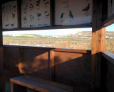
From the top of Oroklini village my ride took me winding down through more urban areas and then along the main street in Oroklini back towards the highway where you pass the Council buildings before turning right and following the road to the north side of the Oroklini Lake. The main hide for the lake is here with lots of information panels. The north part of the lake is the first part to fill and the last to dry up. For many months while there is water in the lake you’ll be able to see lots of species of birds and the popular Flamingos.
I often ride the main part of this route and change the end depending on how I’m doing for time. Sometimes I’ll just head straight back down through the village and other times I’ll head off to the left before reaching Oroklini village and going cross country towards the village of Pyla. I’ll cover those routes in future ride articles.
Time Lapse (hyperlapse) Video
Here is the entire ride, speeded up, in just under 4 minutes. It was sped up using Windows Movie Maker and then stabilized using proDAD Mercalli V4. This new version of the video was added on 16th March 2015.
The first version of this video can be seen here, it was one of my first attempts at timelapsed and stabilised videos so the quality was not brilliant.
Route Map
Download map:



Love this video, might have to try that route sometime. Would be good if you put the names of the taverns and churches etc on the map for reference.